
- World Radio Map • Oceania • American Samoa / Sāmoa Amelika • Pago Pago
Radio stations in Pago PagoTulaga i letiō i Pago PagoClick on the radio station name to listen online / Kiliki i luga o le igoa letiō e faalogo i le initoneti |
||
| FM,MHz | Station / Nofoaga i letiō | Transmitter |
| 88.1 |  KGIF KGIF |
Mount Olotele |
| 89.7 |
 KMOA KMOA
|
Mount Alava |
| 90.5 |
 KPPO Christian Radio KPPO Christian Radio
|
Mount Olotele |
| 91.3 |  KIOE Yes to God's Way for Life! KIOE Yes to God's Way for Life! |
Mount Olotele |
| 92.1 |
 KSBS Island 92 KSBS Island 92
|
Lauli'i, Breakers Point |
| 93.1 |
 KKHJ 93KJH KKHJ 93KJH
└ HD2  Oldies 93.7 Oldies 93.7
|
Mount Alava |
| 93.7 |
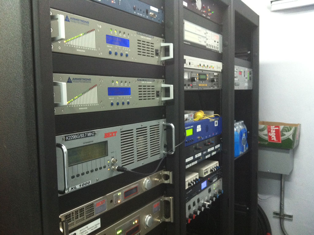
K229BG Oldies 93.7
|
Mount Olotele |
| 95.1 |  KULA Information & Inspiration KULA Information & Inspiration |
Ili'ili |
| 97.1 | K246AX Information & Inspiration |
Mount Olotele |
| 99.1 | K256BH Information & Inspiration |
Mount Alava |
| 102.5 | K273BK Information & Inspiration |
Alao |
| 103.1 |
 WVUV V103 WVUV V103
|
Mount Olotele |
| 104.7 |
 KKBT The Beat KKBT The Beat
|
Mount Olotele |
| WX,MHz | Station / Nofoaga i letiō | Transmitter |
| 162.400 |
 WNG710 NOAA Weather Radio WNG710 NOAA Weather Radio
|
Tafuna, Pago Pago International Airport |
| 162.550 |
WZ2529 NOAA Weather Radio
|
Mount Olotele |
| AM,kHz | Station / Nofoaga i letiō | Transmitter |
| 540 |
 2AP National Radio 2AP National Radio
|
Samoa, Mulinu'u |
| 1017 |
 TBC Radio Tonga 1 TBC Radio Tonga 1
|
Tonga, Nuku'alofa, Tungī Road |
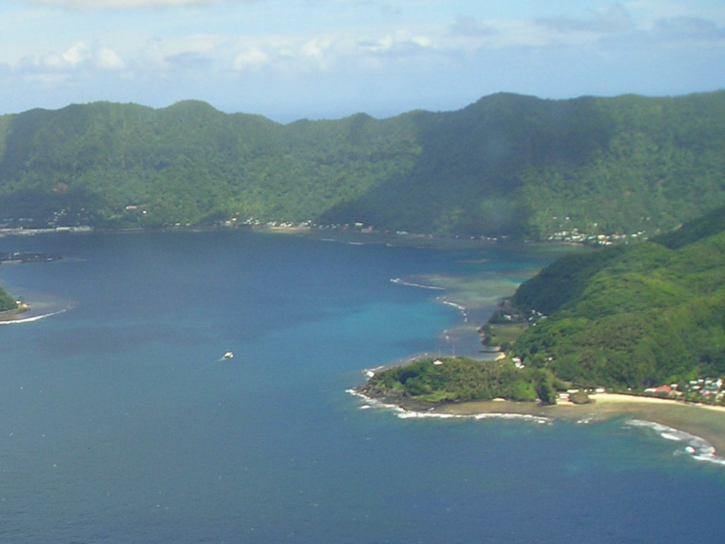
Breakers Point
Coordinates: 14°17'23" S, 170°39'48" W
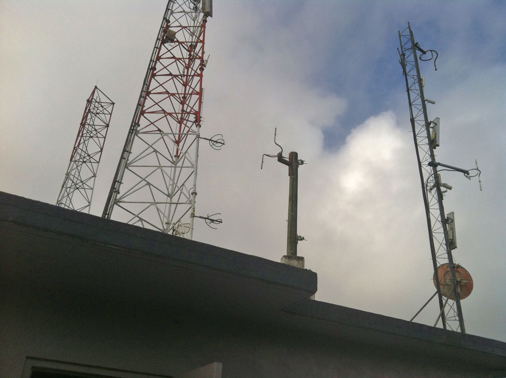
Transmitter tower for KSBS 92.1 FM is situated on Breakers Point at Pago Pago Harbor entrance.

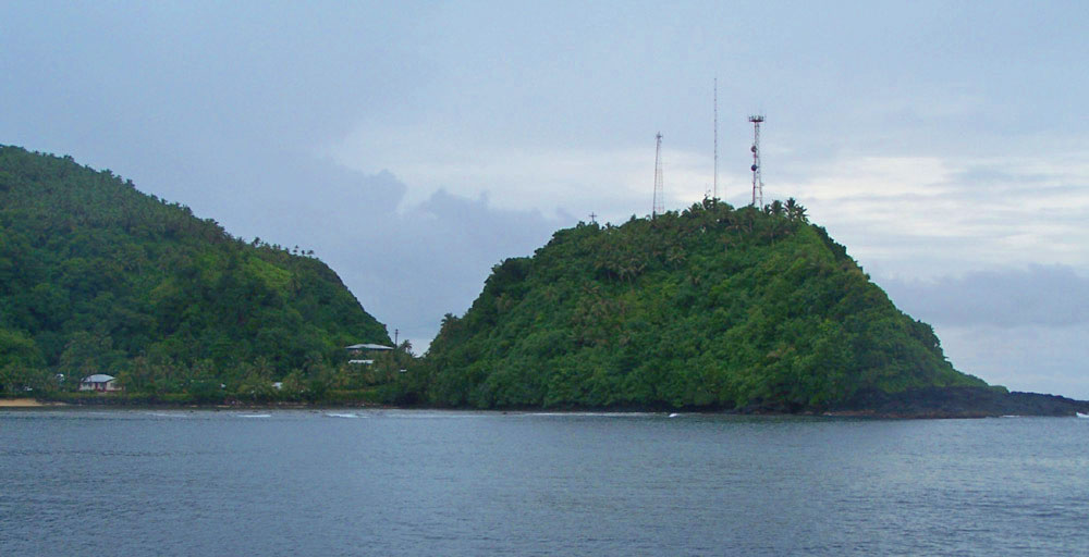
Mount Alava
Coordinates: 14°15'54" S, 170°41'15" W
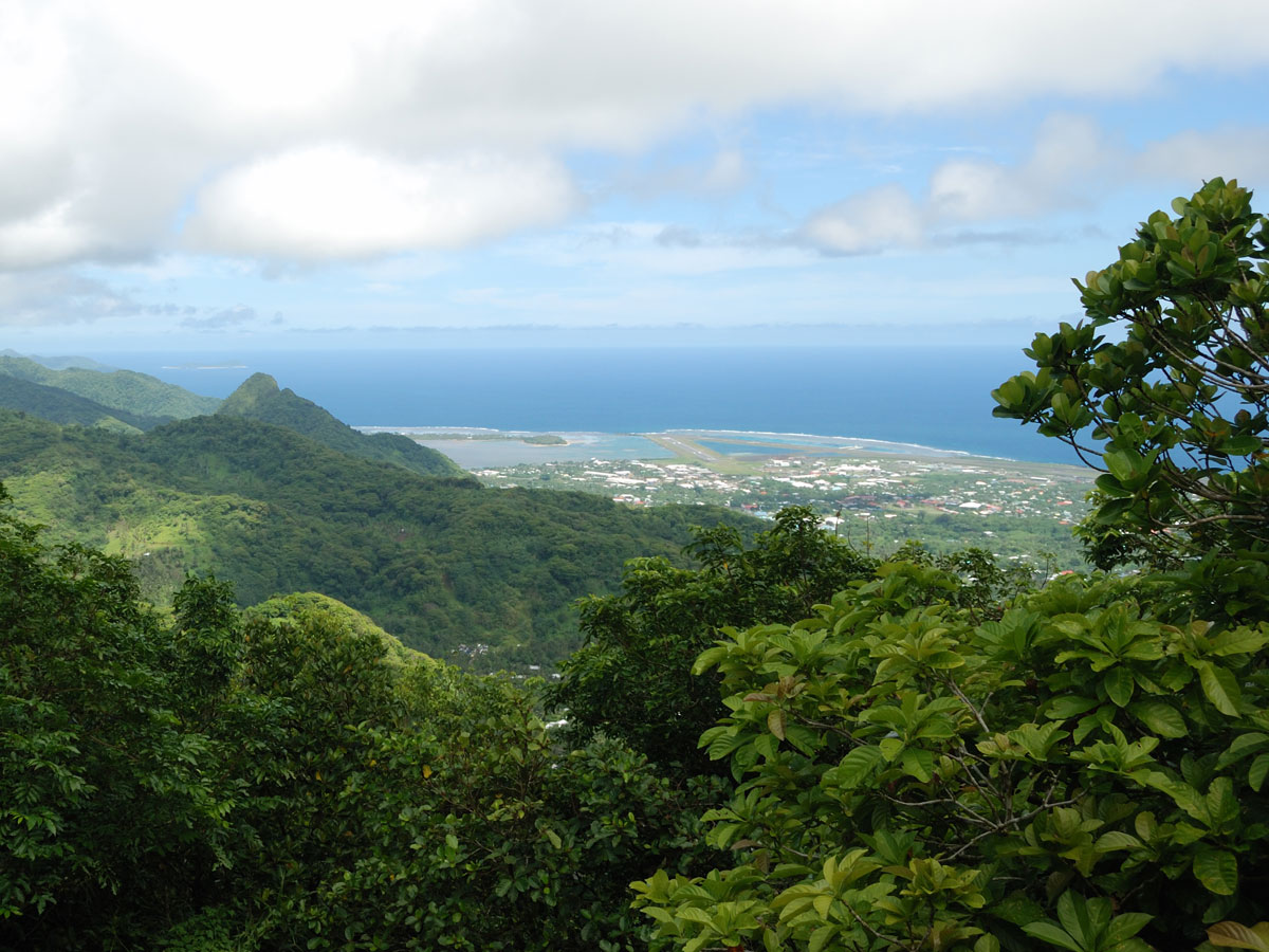
Mount Alava is a 1634 ft (498 m) mountain peak in the central part of Tutuila island, overlooking Pago Harbor, American Samoa. South Seas Broadcasting Tower (KKHJ 93.1 FM) is located atop Mount Alava.
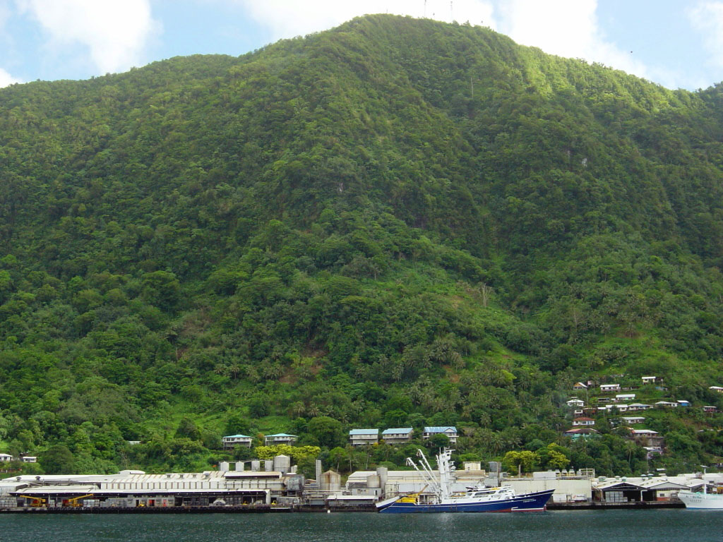
Mount Olotele
Coordinates: 14°19'03" S, 170°45'51" W
Mount Olotele is a 1621 ft (494 m) mountain peak on the western side of Tutuila island, overlooking Tafuna, American Samoa. Transmitters for many radio stations (KIOE 91.3 FM, WVUV 103.1 FM, KNWJ 104.7 FM and others) and NOAA Weather Radio WZ2529 162.55 MHz are located on Mount Olotele.
Useful links / So'otaga aoga
RadioHeritage.net: Pago Pago - The Tall Tower Tour
KH8AC: American Samoa Radio
Pago Pago, American Samoa at Radio-Locator.com
