
- World Radio Map • Caribbean • Turks and Caicos Islands • Providenciales
Radio stations in ProvidencialesClick on the radio station name to listen online. |
||
| FM,MHz | Station | Transmitter |
| 88.7 |
 88 JAMZ 88 JAMZ
|
Venetian Road, WIV Tower Plaza |
| 89.1 |
 Radio Turks and Caicos Radio Turks and Caicos
|
Downtown Providenciales + Middle Caicos + South Caicos + Grand Turk |
| 89.7 |
 Hope Radio Hope Radio
|
Long Bay Hills, Flow Tower |
| 90.5 |  Praise Him FM Praise Him FM |
Providenciales |
| 91.1 |
 Sun FM Sun FM
|
Five Cays, Flow Tower |
| 92.5 |
 Power 92.5 FM Power 92.5 FM
|
Venetian Road, WIV Tower Plaza |
| 93.9 |
 Island FM Island FM
|
Providenciales |
| 96.7 |
 Victory in Christ Radio Victory in Christ Radio
|
Butterfield Tower, Faith Tabernacle Church of God |
| 98.3 |
 Abundant Life Ministries Int'l Abundant Life Ministries Int'l
|
Cooper Jack Bay, Abundant Life Ministries Crurch |
| 98.9 |
 Faith FM Faith FM
|
Five Cays, Rock of Jesus Ministry |
| 102.5 |
 Kiss FM Kiss FM
|
Venetian Road, WIV Tower Plaza |
| 105.5 |
 Tropical Vibes Tropical Vibes
|
Long Bay Hills, Flow Tower |
| AM,kHz | Station | Transmitter |
| 710 |
 CMBA Radio Rebelde CMBA Radio Rebelde
|
Cuba, Chambas + Martí |
| 800 |
 PJB Radio Trans Mundial PJB Radio Trans Mundial
|
Bonaire |
| 890 |
 CMBC Radio Progreso CMBC Radio Progreso
|
Cuba, Chambas |
| 1180 |
 CMBD Radio Reloj CMBD Radio Reloj
|
Cuba, Martí |
| 1540 |
 ZNS1 The National Voice ZNS1 The National Voice
|
Bahamas, Nassau, South Beach |
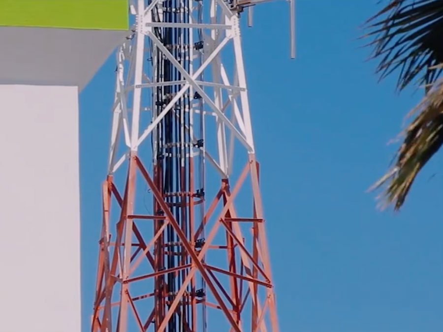
Flow Tower, Providenciales
Coordinates: 21°46'40" N, 72°13'43" W
Cable & Wireless (Flow) telecommunication tower at 1044 Leeward Highway, Providenciales, Turks and Caicos Islands, British West Indies.

Useful links
Turks and Caicos Telecommunications Commission
Andrew's Communications Ltd. - PTV8
RadioStationWorld: Turks and Caicos Radio Stations
Caribbean-Radio.com: Brien's Turks and Caicos Islands Radio Guide
Caribbean Christian Radio - Island Radio Stations Broadcasting the Word of God
Caribbean Christian Radio Directory
