
- World Radio Map • North America • United States • Nebraska • North Platte
Radio stations in North Platte, NEClick on the radio station name to listen online |
||
| FM,MHz | Station | Transmitter |
| 88.5 |
 KNPE My Bridge Radio KNPE My Bridge Radio
|
Lake Maloney |
| 89.3 |
 KJTF Christian Music KJTF Christian Music
|
Meadows Lawns Rd |
| 90.1 |
 KFJS Spirit Catholic Radio KFJS Spirit Catholic Radio
 EWTN Catholic Radio EWTN Catholic Radio
|
US-83 4.7 mi North, KNOP-TV Tower |
| 91.7 |
 KPNE News/Classical KPNE News/Classical
└ HD2 News/Jazz
|
Hwy 25 South of Sutherland Reservoir |
| 92.3 |
 KBRY K-Bear KBRY K-Bear
|
Sargent |
| 93.1 |
 KRVN The River KRVN The River
└ HD2  Rural Radio Rural Radio
|
Lexington, 5 mi south on US-283 |
| 93.5 |
 KZTL Country Z93.5 KZTL Country Z93.5
|
Paxton, Rd East 50 |
| 93.9 |
 KSWN The Zone KSWN The Zone
|
McCook, Culbertson |
| 94.3 |
K232EC Mi Puente Radio
|
I-80 at Homestead Rd, American Tower |
| 94.9 |
 KJLT-FM Christian Radio KJLT-FM Christian Radio
└ HD2 KJLT-AM Christian Radio
|
Meadows Lawns Rd |
| 95.3 |
 KBBN The Thunderbird KBBN The Thunderbird
|
Broken Bow |
| 95.7 |
K239CI KJLT-AM Christian Radio
|
201 S Bailey Ave |
| 96.1 |
 KICX KICX
|
McCook, Rd 382 |
| 97.1 |
 KELN Mix 97.1 KELN Mix 97.1
|
US-83 7.4 mi North |
| 98.1 |
 K251CP Greatest Hits K251CP Greatest Hits
|
US-83 2 mi North |
| 98.5 |
 KHAQ The Hawk KHAQ The Hawk
|
US-83 5.6 mi North |
| 99.3 |
KHZY My Bridge Radio
|
Lexington, 5 mi south on US-283 |
| 99.7 |
 KOGA The Lake KOGA The Lake
|
Paxton, Rd East 50 |
| 100.7 |
 KRNP Flat Rock KRNP Flat Rock
|
Paxton, Rd East 50 |
| 102.1 |
 KZMC True Country KZMC True Country
|
McCook, Culbertson |
| 102.9 |
 KADL Jack FM KADL Jack FM
|
Imperial |
| 103.5 |
 KXNP KX104 Country Legend KXNP KX104 Country Legend
|
US-83 5.6 mi North |
| 103.9 |
 KQHK The Hawk KQHK The Hawk
|
McCook, Rd 382 |
| 104.5 |
 KCVN Bott Radio Netw. KCVN Bott Radio Netw.
|
Lexington, 5 mi south on US-283 |
| 105.3 |
 KIOD Coyote Country KIOD Coyote Country
|
McCook, Culbertson |
| 106.5 |
 KMCX Hot Country KMCX Hot Country
|
Ogallala |
| 107.3 |
 KNPQ Q-Classic Country KNPQ Q-Classic Country
|
W 17th St and N Washington Ave |
| 107.9 |
K300BM Bott Radio Netw.
|
I-80 at Homestead Rd, American Tower |
| WX,MHz | Station | Transmitter |
| 162.550 |
 WXL68 NOAA Weather Radio WXL68 NOAA Weather Radio
|
Sutherland |
| AM,kHz | Station | Transmitter |
| 750 |
KMMJ Mi Puente Radio
|
Grand Island, NE, Central City |
| 790 |
 KXXX Farm-n-Country KXXX Farm-n-Country
|
Colby, KS |
| 850 |
 KOA NewsRadio KOA NewsRadio
|
Denver, CO, Paker Regional Park |
| 880 |
KRVN Rural Radio
|
Lexington |
| 930 |
 KOGA News Radio KOGA News Radio
|
Ogallala |
| 970 |
KJLT-AM Christian Radio
|
US-30 at N Front Rd |
| 1010 |
 KSIR Farm Radio KSIR Farm Radio
|
Brush, CO |
| 1060 |
 KNLV Greatest Hits KNLV Greatest Hits
|
Ord |
| 1110 |
 KFAB NewsRadio KFAB NewsRadio
|
Omaha, NE, Papillion |
| 1240 |
 KODY News Talk KODY News Talk
|
W 17th St and N Washington Ave |
| 1280 |
 KCNI Pure Country KCNI Pure Country
|
Broken Bow |
| 1300 |
 KBRL The Big Talker KBRL The Big Talker
|
McCook |
| 1360 |
 KNGN Real Christian Radio KNGN Real Christian Radio
|
McCook |
| 1380 |
 KUVR KUVR
|
Holdrege |
| 1410 |
KOOQ Greatest Hits
|
US-83 2 mi North |
| 1460 |
 KXPN ESPN Tri-Cities KXPN ESPN Tri-Cities
|
Kearney |
| 1580 |
 KAMI Country Legends KAMI Country Legends
|
Cozad |
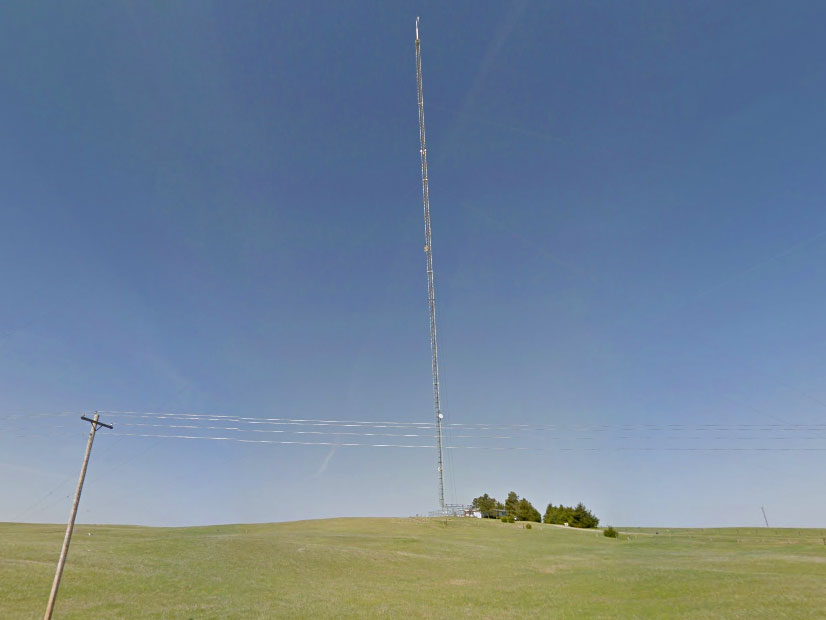
Sutherland, Nebraska Educational Telecommunications Tower
Coordinates: 41°01'22" N, 101°09'16" W
Meadows Lawns Rd, Tri-State Broadcasting Association Inc. Tower
Coordinates: 40°59'49" N, 100°52'49" W
Useful links
NEBA - Nebraska Broadcasters Association
Nebraska Rural Radio Foundation
Your Midwest Media - Radio & TV broadcasting throughout the Upper Midwest
NorthPine.com - Upper Midwest Broadcasting
Amateur Radio Association of Nebraska
Tophour.com audio: North Platte Legal IDs
RadioDiscussions.com - Nebraska Message Board
North Platte, Nebraska at Radio-Locator.com
