
- World Radio Map • Oceania • New Zealand • Hamilton, Waikato / Kirikiriroa, Waikato
Radio stations in HamiltonTeihana reo irirangi o KirikiriroaClick on the radio station name to listen online |
||
| FM,MHz | Station / Pou reo irirangi | Transmitter / Pou pāho |
| 87.6 |
 Tama-Ohi Radio Tama-Ohi Radio
|
Hamilton |
| 87.7 |
 Rush FM Rush FM
|
North Hamilton |
| 88.0 |
 Noize Radio Noize Radio
|
Hamilton |
| 88.1 |
 Contact FM Contact FM
|
University of Waikato |
| 88.3 |
 Rockit FM Rockit FM
|
Fairfield Intermediate School |
| 89.0 |
 Free FM Free FM
|
University of Waikato |
| 89.8 |
 ZM ZM
|
Mount Ruru |
| 90.6 |
 Raukawa FM Raukawa FM
|
Mount Ruru |
| 91.4 |
 Radio New Zealand Concert Radio New Zealand Concert
|
Mount Te Aroha |
| 92.2 |
 More FM More FM
|
Mount Ruru |
| 93.0 |
 The Rock The Rock
|
Mount Ruru |
| 93.8 |
 The Sound The Sound
|
Mount Ruru |
| 94.6 |
 Life FM Life FM
|
Mount Te Aroha |
| 95.4 |
 Te Reo o Tainui Te Reo o Tainui
|
Mount Te Aroha |
| 96.2 |
 Radio Hauraki Radio Hauraki
|
Mount Ruru |
| 97.0 |
 Newstalk ZB Newstalk ZB
|
Mount Ruru |
| 97.8 |
 The Edge The Edge
|
Mount Ruru |
| 98.6 |
 The Hits The Hits
|
Mount Te Aroha |
| 99.4 |
 The Breeze The Breeze
|
Mount Ruru |
| 100.2 |
 Magic Magic
|
Mount Ruru |
| 101.0 |
 Radio New Zealand National Radio New Zealand National
|
Mount Te Aroha |
| 103.4 |
 Radio 531pi Radio 531pi
|
Mount Te Aroha |
| 104.2 |
 channel X channel X
|
Hamilton Towers |
| 105.0 |
 Coast Coast
|
Mount Ruru |
| 105.8 |
 Mai FM Mai FM
|
Mount Ruru |
| 106.2 |
 Maniapoto FM Maniapoto FM
|
Te Kawa |
| 106.7 |
 The Hum The Hum
|
Hamilton |
| 106.9 |
 KFM KFM
|
Hamilton Central |
| 107.1 |
 The Yak FM The Yak FM
|
Waikato Institute of Technology |
| 107.3 |
 George FM George FM
|
University of Waikato |
| 107.5 |
 Radio Mehfil Radio Mehfil
|
Frankton, 103 Greenwood St |
| 107.9 |
 Radio City Radio City
|
Hamilton Central |
| AM,kHz | Station / Pou reo irirangi | Transmitter / Pou pāho |
| 567 |
Radio New Zealand National
|
Wellington, Titahi Bay |
| 576 |
 Star Star
|
Greenhill Road |
| 657 |
Star
 New Zealand Parliament New Zealand Parliament
|
Wellington, Titahi Bay |
| 792 |
 Gold Sport Gold Sport
|
Eureka |
| 855 |
 Rhema Rhema
|
Greenhill Road |
| 954 |
 Sport Nation Sport Nation
|
Newstead |
| 1143 |
Radio New Zealand National
|
Eureka |
| 1296 |
Newstalk ZB
|
Eureka |
| 1494 |
Star
New Zealand Parliament
|
Eureka |
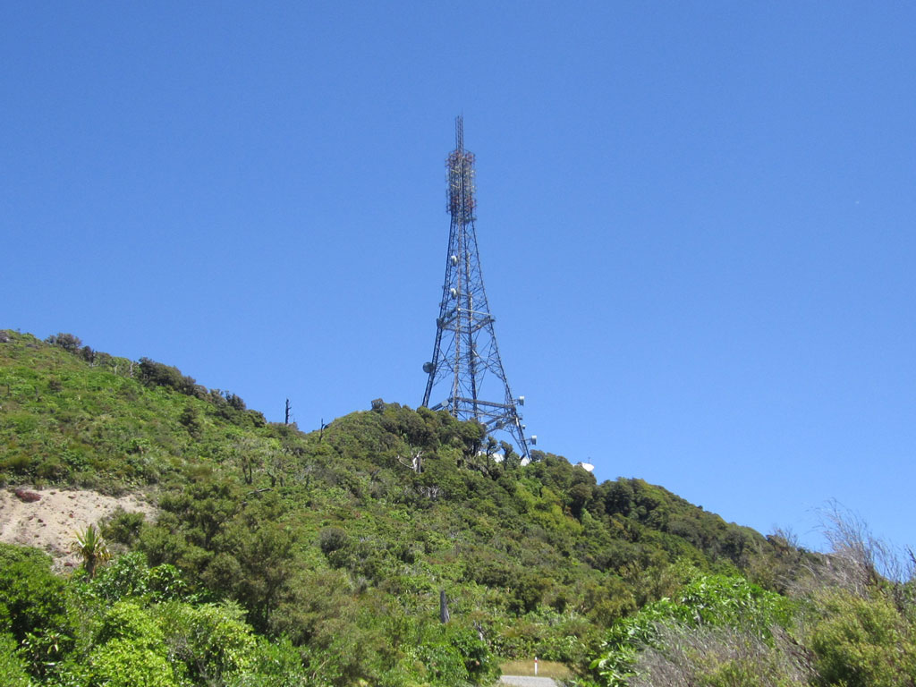
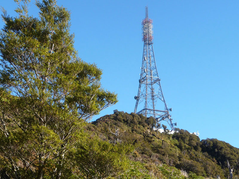
Mount Ruru
Coordinates: 37°47'26" S, 175°33'42" E
Mount Ruru is a peak, located near Te Miro, east of Hamilton. The Ruru transmitting station sits atop the mountain, broadcasting television and FM radio to the Waikato Plains. The summit is 482 metres above sea level.

Mount Te Aroha
Coordinates: 37°32'02" S, 175°44'31" E
Summit of Mount Te Aroha (952m), the highest point of the Kaimai Range. Mount Te Aroha provides 360 degree views across the Waikato and Bay of Plenty. Ruapehu, Ngāuruhoe and Taranaki are visible on a clear day.

Useful links
RSM - Radio Spectrum Management
RBA - Radio Broadcasters Association Inc.
CAMA - Community Access Media Alliance
Radio Today - Australia and New Zealand's leading radio industry website
Radio Heritage Foundation - The New Zealand Radio Guide
FrequencyFinder.co.nz
RadioFM.co.nz - FM Radio stations in New Zealand
NZ Radio Guide - New Zealand Radio Stations Online
New Zealand Vintage Radio Society
Maritime Radio - dedicated to the history of New Zealand radio communication stations
Irirangi.net - Māori radio broadcasting in Aotearoa
LPFM.org.nz - Society of New Zealand Low Power FM Broadcasters
New Zealand Low Power FM Radio Station Network
NZART - New Zealand Association of Radio Transmitters
RadioDX.com - New Zealand Radio DX League
TRB - The Radio Bureau
